
Introduction
There is a moment of tension when your phone lights up with emergency alerts, and you see the notification: multiple severe thunderstorm warnings issued for South Carolina counties. Whether you are in the Upstate, the Midlands, or the Lowcountry, understanding what these alerts mean and how to respond can make the difference between staying safe and facing unnecessary danger.
I have lived through South Carolina’s unpredictable severe weather seasons, and I know firsthand how quickly conditions can escalate. From the rapid development of supercell thunderstorms in the spring to the intense summer pop-up storms that produce damaging winds, knowing how to interpret warnings and take immediate action is essential. In this guide, I will walk you through everything you need to know about severe thunderstorm alerts in South Carolina, based on official criteria from the National Weather Service and safety recommendations from emergency management experts.
What Qualifies as a Severe Thunderstorm in South Carolina?
Before diving into the alerts themselves, it is important to understand what meteorologists consider “severe.” According to the National Weather Service office in Charleston, a thunderstorm reaches severe criteria when it produces :
- Wind gusts equal to or in excess of 50 knots (58 mph)
- Hail size of one inch in diameter or larger (quarter-size or bigger)
When a storm meets these thresholds, the National Weather Service will issue a Severe Thunderstorm Warning for the affected areas .
Sub-Severe but Still Dangerous Storms
Not every dangerous storm meets the official severe criteria. For storms producing wind gusts of 45-57 mph or hail between half an inch and one inch, the NWS issues a Special Weather Statement to alert the public that while criteria are not met, significant weather is still occurring . In my experience, these storms can still knock down tree limbs and cause localized damage, so they deserve your attention even without a warning.
Understanding the Difference: Watches vs. Warnings
One of the most critical distinctions to grasp during severe weather season is the difference between a watch and a warning. This knowledge has helped me and my family respond appropriately when storms approach.
| Alert Type | Meaning | Action Required |
|---|---|---|
| Severe Thunderstorm Watch | Conditions are favorable for severe thunderstorms to develop in and near the watch area. The watch area is typically large, covering numerous counties or even states . | Be Prepared. Stay informed, review your emergency plans, and be ready to act quickly if a warning is issued . |
| Severe Thunderstorm Warning | Severe weather has been reported by trained spotters or indicated by radar. Warnings indicate imminent danger to life and property. The warning area is much smaller—around the size of a city or small county . | Take Action Immediately. Seek shelter in a substantial building. This is not a time for deliberation . |
The South Carolina Emergency Management Division (SCEMD) emphasizes that acting early helps save lives. When a warning is issued for your specific location, you need to move to safety without delay .
Which South Carolina Counties Are Affected?
Severe thunderstorm warnings are issued by specific National Weather Service forecast offices that cover different regions of South Carolina. Understanding which office covers your area helps you know where to look for the most reliable information.
NWS Coverage Areas in South Carolina
- NWS Charleston, SC: Covers coastal counties including Charleston, Berkeley, Dorchester, Colleton, Beaufort, and Jasper, extending into southeast Georgia
- NWS Columbia, SC: Serves the Midlands region including Richland, Lexington, Aiken, Orangeburg, and Sumter counties
- NWS Greenville-Spartanburg: Covers the Upstate including Greenville, Spartanburg, Anderson, Pickens, and Oconee counties
- NWS Wilmington, NC: Serves the Pee Dee region including Florence, Darlington, Marlboro, and Dillon counties
When multiple severe thunderstorm alerts are issued, they often affect several counties simultaneously as storm systems move across the state. The I-95 corridor, the I-26 corridor from Charleston to Columbia, and the Upstate foothills are particularly prone to severe thunderstorm development during the spring and summer months.
What to Do When a Warning Is Issued
When you receive notification that a severe thunderstorm warning has been issued for your county, seconds count. Based on guidance from SCEMD, the National Weather Service, and the American Red Cross, here is your step-by-step action plan .
If You Are Indoors
- Get inside a sturdy building immediately. A sturdy building has walls and a foundation—not a shed, gazebo, or picnic shelter .
- Go to the basement or an interior room on the lowest level. A small, windowless interior room such as a closet, bathroom, or hallway provides the best protection .
- Stay away from windows, doors, and exterior walls. Draw blinds and shades over windows to prevent glass from shattering into your home if windows break .
- Avoid electrical appliances and plumbing. Lightning can travel through wiring and metal pipes. Do not take showers, baths, or wash dishes during a thunderstorm .
- Unplug sensitive electronics. If lightning strikes, power surges can damage equipment .
- Plan to stay inside until weather forecasts indicate it is safe to leave. Wait at least 30 minutes after the last thunderclap before going back outside .
If You Are in a Mobile Home or Manufactured Home
Mobile homes are not safe in high winds . If you live in a manufactured home, trailer, or recreational vehicle:
- Identify a sturdy building nearby before storms arrive
- Get out immediately and go to that building when a warning is issued
- Do not stay in your mobile home, even if it is tied down
The Red Cross emphasizes that mobile homes can blow over in high winds, making them one of the most dangerous places to be during severe thunderstorms .
If You Are Outdoors
- Seek shelter immediately in a substantial, permanent, enclosed structure
- If you are boating or swimming, get out of the water and get to land immediately—water is an excellent conductor of electricity
- If no building is available, take shelter in a hard-topped vehicle with the windows closed. Avoid convertibles
- In the woods, find an area protected by a low clump of trees. Never stand beneath a single large tree in the open
- As a last resort, go to a low-lying open place away from trees, poles, and metal objects. Crouch low to the ground on the balls of your feet, with your head between your knees. Minimize your contact with the ground
If You Are Driving
- Pull safely onto the shoulder of the road and stop, away from trees or other tall objects that could fall on the vehicle
- Stay in the vehicle and turn on emergency flashers until heavy rain subsides
- Avoid contact with metal surfaces inside the vehicle
- Avoid flooded roads at all costs. The depth of water is not always obvious. As little as six inches of water can cause you to lose control of your vehicle, and two feet of flowing water will carry away most vehicles, including SUVs and pickup trucks
Additional Hazards Accompanying Severe Thunderstorms
Severe thunderstorms rarely travel alone. They bring a suite of dangers that require separate precautions.
Lightning
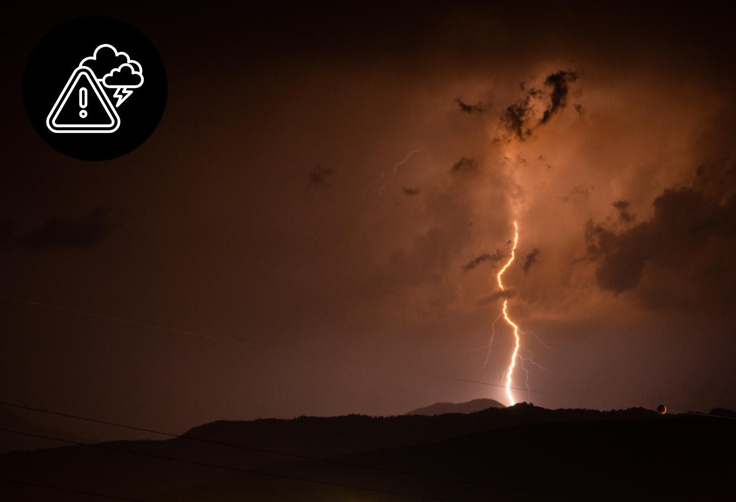
Lightning kills about 20 people in the United States each year, and hundreds more are severely injured . If you can hear thunder, you are close enough to the storm to be struck by lightning . The “30-30 rule” is a good guideline: if the time between lightning flash and thunder is 30 seconds or less, seek shelter immediately, and stay sheltered for 30 minutes after the last thunderclap.
Flash Flooding
Heavy rain from severe thunderstorms can lead to rapid flooding, especially in low-lying areas, urban streets, and areas near creeks and streams .
The most important rule: Turn Around, Don’t Drown. Never drive through flooded roadways. The City of Columbia explicitly warns residents: “If you come across a flooded roadway while driving, TURN YOUR VEHICLE AROUND and go back the way you came. DO NOT attempt to drive through flood waters” .
SCEMD’s Derrec Becker emphasizes: “You don’t know how stable the ground is underneath the water, you don’t know how deep the water is until it’s too late. So anytime you see water on the roads, avoid it at all costs” .
Damaging Straight-Line Winds
Straight-line winds from severe thunderstorms can be just as damaging as a tornado . These winds can:
- Knock down trees and power lines
- Damage roofs and siding
- Turn outdoor furniture and yard items into dangerous projectiles
Tornadoes
Severe thunderstorms can produce tornadoes with little additional warning. If a Tornado Warning is issued for your area, take these additional precautions :
- Get to the lowest level of your building, preferably a basement or storm cellar
- Go to an interior room away from corners, windows, doors, and outside walls
- If in a vehicle, trailer, or mobile home, get out immediately and go to a sturdy nearby building
- If you cannot get indoors, lie flat in a nearby ditch or depression and cover your head
- Never try to outrun a tornado in your vehicle
- Stay away from bridge and highway overpasses—they act as wind tunnels and are extremely dangerous
How to Prepare Before Severe Weather Strikes
Preparation is the key to staying safe when multiple severe thunderstorm alerts are issued. Based on recommendations from SCEMD and the American Red Cross, here is what you should do now .
Build or Review Your Emergency Kit
Your emergency kit should sustain your household for at least three days, preferably longer. Include :
- Non-perishable food and water (one gallon per person per day)
- Medications and first-aid supplies
- Flashlights and extra batteries
- Battery-powered radio (NOAA weather radio is ideal)
- Important documents in a waterproof container
- Cell phone chargers and backup power banks
- Cash and emergency contacts
Prepare Your Property
- Clear gutters and storm drains of debris to prevent water accumulation and reduce flooding risk
- Secure outdoor items like furniture, garden tools, decorations, and toys—high winds turn these into projectiles
- Remove diseased or damaged limbs from trees to prevent them from falling on your home
Stay Informed
- Have multiple ways to receive emergency information :
- NOAA Weather Radio
- Local news and weather apps
- Wireless Emergency Alerts on your phone
- SCEMD’s website (scemd.org) and social media
- Red Cross Emergency App for real-time updates
- Know which NWS office covers your county and follow them for local forecasts
- Practice drills with your household so everyone knows where to go and what to do
After the Storm Passes
Once the severe weather has moved through your area, safety considerations continue.
Immediate Aftermath
- Continue listening to local officials for updates and instructions
- Stay away from downed power lines and report them to your utility company immediately
- Avoid flooded areas and standing water—it may be electrically charged or contaminated
- Stay out of damaged buildings until they have been inspected
- Use the telephone only for emergency calls
If You Experience Damage
- Contact your insurance company to start the claims process
- Take pictures and detailed notes of damage
- When cleaning up, wear proper protective equipment: eye protection, work gloves, overalls, and boots
- Be aware of work-related hazards: electrical dangers, carbon monoxide from generators, heat stress, and hazardous materials
- For debris cleanup assistance, contact your county emergency manager or call the United Way Association of South Carolina at 1-800-451-1954
Frequently Asked Questions
How long does a severe thunderstorm warning last?
Typically 30 to 60 minutes, depending on the storm’s speed and intensity. Warnings are issued for specific areas where the immediate threat exists.
What is the difference between a severe thunderstorm watch and a warning?
A watch means conditions are favorable for severe storms—be prepared. A warning means severe weather is occurring or imminent—take action immediately .
Can I get a severe thunderstorm warning on my phone?
Yes, Wireless Emergency Alerts (WEA) are sent to compatible mobile devices when warnings are issued for your area. You do not need to sign up for these alerts .
Are straight-line winds really as dangerous as a tornado?
SCEMD warns that “straight-line winds can be just as damaging as a tornado” . They can exceed 100 mph in the most intense thunderstorms.
What should I do if I am driving and cannot find shelter?
Pull over safely away from trees and tall objects, stay in your vehicle with emergency flashers on, and avoid touching metal surfaces. Do not park under overpasses or bridges .
How do I know which NWS office covers my county?
Visit weather.gov and click on your area on the map, or check the list of South Carolina counties served by NWS Charleston, Columbia, Greenville-Spartanburg, and Wilmington.
Is it safe to take a shower during a thunderstorm?
No. Lightning can travel through plumbing. Avoid all water-related activities during a thunderstorm .